DevbhoomiTourist Circuit GIS Open map

देवभूमि उत्तराखण्ड · पर्यटन परिपथ मानचित्र

Uttarakhand
Tourist Circuit Map

A benchmark geospatial database of 1,330 religious, historic and tourist places across all 13 districts — with pilgrimage circuits, district profiles and a full GIS workbench in your browser.
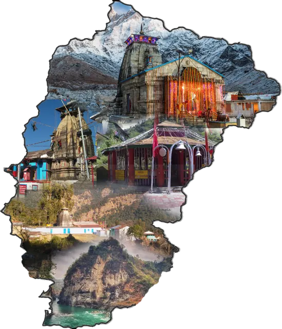
Collage of Kedarnath and temples of Rudraprayag district inside the district outline
—Places mapped
—Religious
—Historic
—Tourist
13Districts
—Blocks covered
—Circuits
—Highest site (m)

Itineraries

Tourist circuits

Curated pilgrimage and heritage trails. Pick a circuit to see its stops, then open it on the map to get the road route, total distance and an elevation profile.

Thirteen districts

District profiles

Every district card shows its mix of religious, historic and tourist places. Tap View on map to filter the GIS map to that district.

Analytics

What the database tells us

Charts update with the filters you set on the map, so every analysis can be narrowed to a district, block, type or altitude band.

Places by district

Stacked by tourism type

Tourism type share

Of filtered places

Altitude distribution

Places with recorded altitude, 250 m bands

Site density

Places per 1,000 km² of district area

Top 12 blocks

By number of places
Table view of district counts

GIS workbench

Interactive map

N
Move over the map